THE AREA
VERMONT: A green lifestyle IN THE
shade of the towering green mountain
Vermont, a suburb of Hermanus in South Africa is a unique urban suburb that was wisely developed with a significant greenbelt system. Approximately 22% of the suburb’s area consists of natural open spaces.
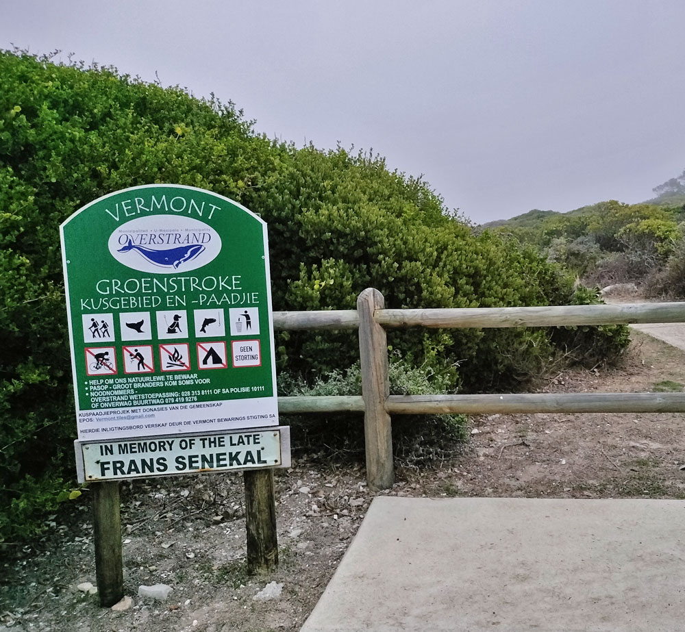
The management of the greenbelt system is aimed at restoring and conserving the remnants of the original natural vegetation and habitats that were once found here. The greenbelts meander through several areas of Vermont, from the mountain, all the way to the coastline. The Vermont Greenbelt System includes several fynbos vegetation types, a scintillating natural coastline and the mesmerising Vermont Saltpan.
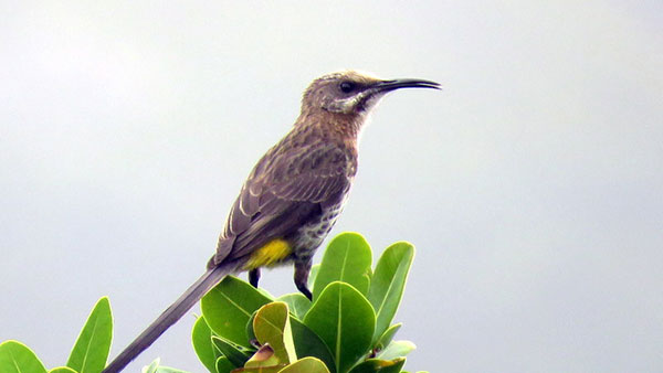
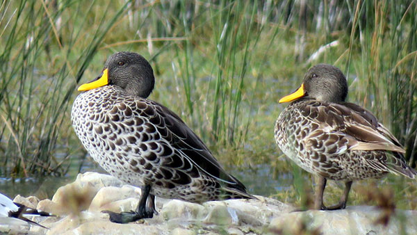
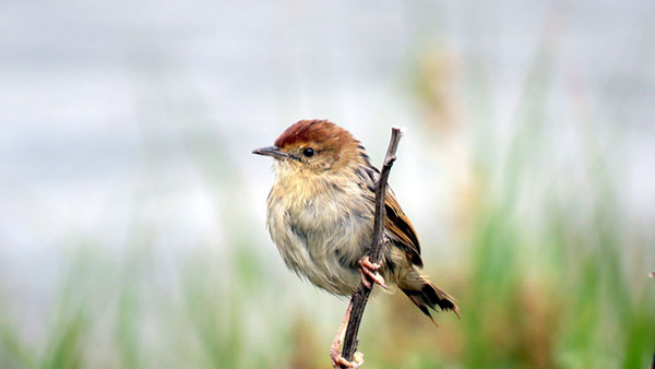
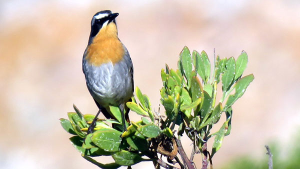
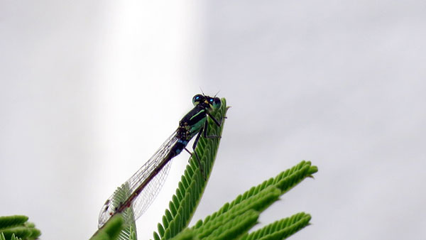
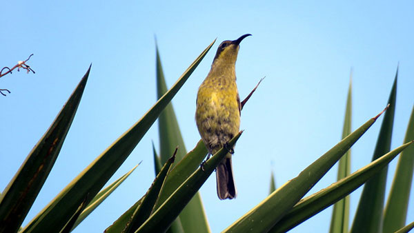
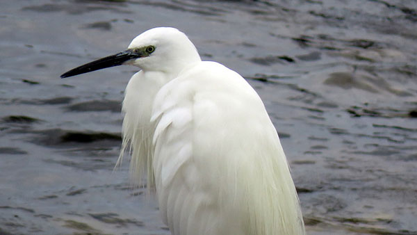
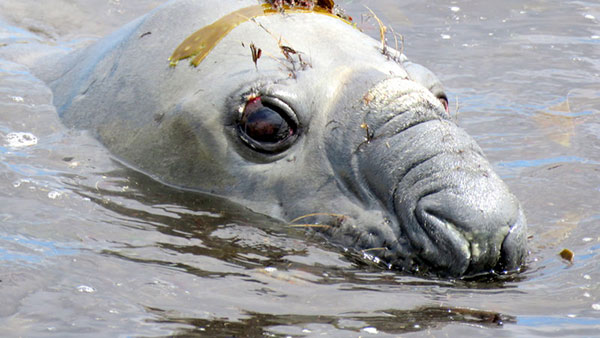
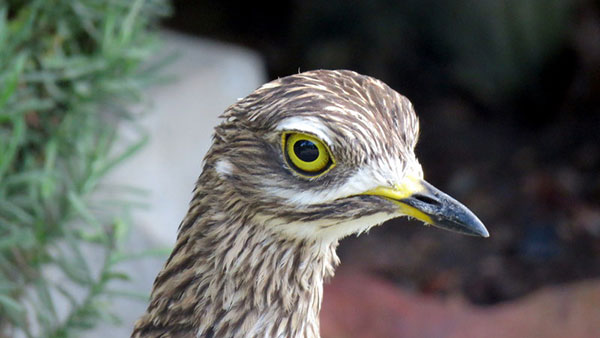
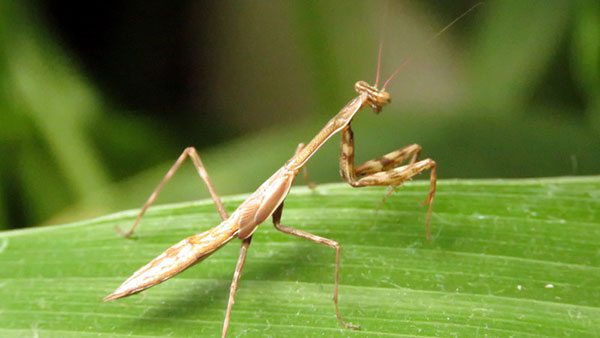
The greenbelts support a variety of wildlife. So far, 105 bird species have been recorded in Vermont by the Hermanus Bird Club. Cape Spurfowl rule the roost in the streets and in the gardens. Cape Grysbok, Grey Duiker, several species of mongoose, caracal, porcupines and tortoises are regularly seen. Insect-eating bats fill the evening skies, and, during wet periods a diversity of frogs add to the chorus of night sounds which include the hoot of Cape Eagle Owls on their nightly hunts.
The Overstrand area falls within the Cape Floral Kingdom or fynbos, the smallest and the most threatened of the six world plant kingdoms. Vermont overlays three fynbos sub-veld types: Overberg Sandstone Fynbos (Endangered), Hangklip Sand Fynbos (Critically Endangered) and Overberg Dune Strandveld (Endangered).
Hermanus has been recognized by the WWF (World Wildlife Fund) as one of the 12 best whale watching destinations in the world. The best time to enjoy whale watching in Hermanus is between July and November either from land from the coastal paths, by boat or from the air via a scenic flight. Walker Bay is the mating and breeding grounds of the Southern Right Whale during the winter and spring months.
More information on whale facts and watching is available at https://hermanus-tourism.co.za/things-to-do/whale-and-shark-viewing/ and https://www.hermanus.co.za/nature/whales.
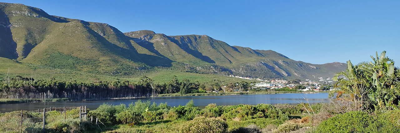
Vermont Saltpan
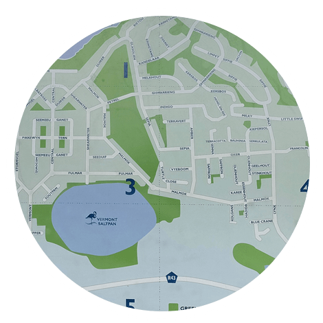
Central to this system is the Vermont Saltpan, a vital component classified as a ‘Critically Endangered Ecosystem.’
The Salt Pan is a mildly saline wetland nestled in a land depression, covering approximately 17.5 hectares, with only floodwater outflow sustaining it. Its ecosystem extends further through a network of reed-covered wetlands, stretching eastward for more than 1km, where it originates in the north-west corner of the Whale Coast Nature Reserve. The saltpan’s water levels fluctuate in accordance with prevailing rainfall and groundwater levels, nurturing diverse wildlife and birdlife, including up to 600 Greater and Lesser Flamingos that inhabit the area, sometimes for up to six months annually.
On the eastern edge of the pan lies a Milkwood (Melkhout) woodland thicket, preserving evidence of the ancient Khoekhoe people who inhabited the area thousands of years ago. On the western side, a small population of Disa hallackii, an Endangered orchid, was discovered following the removal of invasive alien vegetation. This orchid remains highly threatened by coastal developments and invasive plants.
While the pan bottom is solid rock, the size of it suddenly shrunk in 1969. The popular belief is that the 1969 earthquake centred in Tulbagh resulted in the solid base cracking. Almost overnight the pan shrunk to its existing size.
Much of the Paradise Park area just north of the salt pan, was historically a natural wetland through which natural filtered water would have flowed into the Vermont Salt Pan. Since the 1960s, when it was a caravan/camping site, the previous owner allowed up to 270 households to build accommodation on their caravan sites. Much of this development was undertaken in the wetland and in an area that was not zoned for permanent residential development. This was done without complying with municipal building by-laws and sewage standards. In the early 2000’s, it was scientifically established that that sewage effluent was seeping into the salt pan. Since 2017 the illegal residents have been insisting that they had legal rights over their properties and demanded being allowed to stay on the property permanently. Their appeals to the Cape High Court, the Appeal Court and Constitutional of South Africa were dismissed in May 2024 and residents were ordered to vacate completely by end of June 2024.
The present owner/developer, backed by a thorough participatory EIA process, intends redeveloping the property as an environmentally friendly residential area in accordance with a strict Environmental Management Programme, as well as rehabilitating and restoring 7ha of the 20ha site again as a natural feeder wetland for the Vermont Salt Pan.
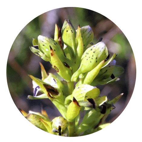
(c) @izithunzi, iNaturalist
The role of greenbelts for wildlife
The greenbelts serve as effective ecological corridors through which wildlife, including insects, can move safely to obtain food, find shelter, mate, breed, frequent favoured habitats and pollinate the wide variety of locally occurring plant species. In this way the Vermont greenbelts contribute to the conservation of our rich and globally important natural Overstrand heritage.
Most of the greenbelt system is public open space under the jurisdiction of the Overstrand Municipality. Over the past two decades, they have contributed significantly to restoring and transforming large tracts from densely infested invasive alien vegetation to fast recovering natural vegetation.
The Vermont community, through our Vermont Conservation Foundation (SA), also partners the municipality in monitoring and conserving the area, along with the support of the Vermont Ratepayers and Environment Association. There are still constant threats that impact on our greenbelts. However, there is a growing groundswell of appreciation and support for the greenbelts by the Vermont community.